As we edge closer to January 20, 2025, residents within the Clinton, MO area are bracing themselves for a cold snap that is set to break temperature records. A Cold Weather Advisory is now firmly in place as forecasts predict an exceptionally frigid day ahead. With an arctic blast poised to sweep through the region, daytime highs are expected to hover around a bone-chilling 22F, accompanied by winds from the West-Northwest at 10 to 15 mph. This unprecedented cold front is not only a cause for concern but also a potential milestone in the area’s weather history, threatening to set new records for cold temperatures.
The severe cold continues into the night, with partly cloudy skies doing little to insulate the area from the plummeting temperatures expected to reach a low of -4F. Winds will slightly decrease in intensity, shifting to the Northwest at 5 to 10 mph, but this will hardly mitigate the biting cold. On this day, the sun is set to rise at 7:28 am and set at 5:24 pm, bisecting a day that promises little warmth from its pale winter light. The moon phase, a waning gibbous on its 21st day, will rise in the enigmatic absence of a specified time, setting the following morning at 10:50 am, adding a celestial spectacle to the frosty conditions.
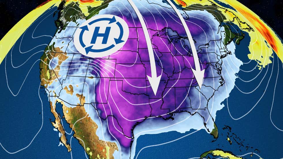
- A chilling image depicting the severe cold snap hitting the region. Source: weather.com